Polar vortex unleashes arctic outbreak, threatening weeks of record cold across eastern U.S.
12/03/2025 / By Cassie B.
- A dangerous and prolonged deep freeze is beginning across the U.S.
- An unstable polar vortex is driving arctic air far south, threatening record lows.
- A major Nor’easter is hitting the Northeast with heavy snow and travel chaos.
- The cold will intensify this week, reaching deep into the South and affecting millions.
- Forecasters warn this is just the start of a severe winter pattern lasting into late December.
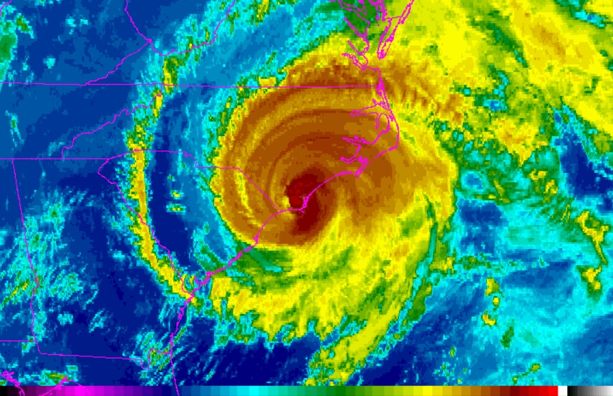
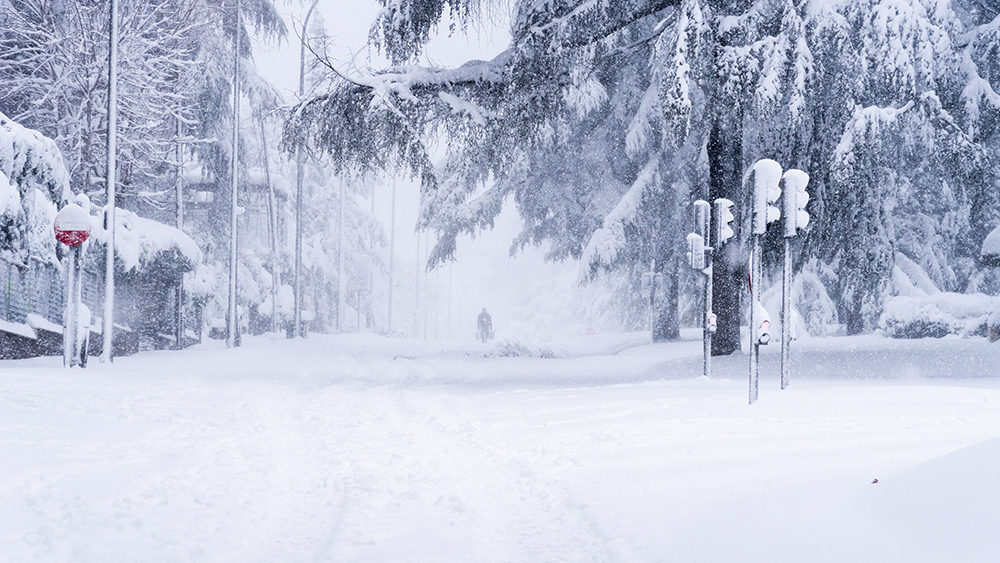
In a nightmare scenario for climate change alarmists who like to pretend we’re experiencing global warming, a deep and dangerous freeze is descending upon the United States, marking the start of what meteorologists warn could be a prolonged siege of brutal winter weather. An unstable polar vortex is driving an arctic outbreak that will grip the Midwest and Northeast with the first of three predicted cold episodes, plunging temperatures 10 to 20 degrees below historical averages for up to three weeks. This pattern, amplified by the La Niña climate phenomenon, threatens record-breaking lows, widespread snow, and a harsh test for infrastructure and agriculture from the Canadian Plains to the East Coast.
The immediate impact is a powerful Nor’easter delivering the season’s first significant snow across the Northeast this Tuesday. The National Weather Service has issued winter storm warnings and advisories from Maine to central Kentucky. Forecasters predict three to eight inches of snow for many areas, with higher elevations like the Adirondacks seeing up to eight inches. New Jersey Governor Phil Murphy declared a state of emergency, warning of snow, sleet, freezing rain and potential power outages for at least five northern counties.
Travel chaos is already unfolding. The Federal Aviation Administration issued ground delays at major airports in Boston, New York, and Washington due to poor weather. This system compounds the disruption from a major holiday weekend storm that slammed the Midwest with up to a foot of snow, causing numerous crashes and a Delta flight to skid off an icy runway in Des Moines, Iowa.
The science of the deep freeze
This frigid forecast stems from a weakening in the Earth’s polar vortex, a giant whirlpool of cold air high above the North Pole. Normally contained by strong winds, this vortex has been knocked off balance. “Strong storms and high-pressure systems in the lower atmosphere have sent ripples of warmer air upward that knocked this vortex off balance, allowing the icy Arctic air to dip farther south and blanket the U.S.,” meteorologists explain. The resulting collision with warm air from the Gulf Coast is generating a mix of severe winter weather.
The cold is not a brief event but what appears to be the opening act of a severe winter pattern. AccuWeather has predicted three distinct “polar vortex episodes” before winter officially begins on December 21. The first episode is now underway, but it is expected to create a “stuck” weather pattern where cold air pools over the eastern U.S. and lingers.
A prolonged and punishing cold
The coming days will see the cold air push dramatically southward. By Thursday and Friday, the polar vortex’s reach is projected to extend into Oklahoma, Arkansas, Missouri, and Tennessee. The FOX Forecast Center warns that a second surge of arctic air will set the stage for potentially record-breaking lows. On Thursday, parts of the upper Midwest could see temperatures plummet well below zero, hitting -10 Fahrenheit in spots like Iowa, Minnesota, Illinois, and Wisconsin, threatening decades-old records.
By Friday, record-low temperatures in the teens and 20s are forecast for major cities including New York, Chicago, Indianapolis, and Baltimore. Experts note these temperatures are more typical for early February than December. The cold is so extensive that over 235 million Americans will experience below-freezing temperatures through the week, with the chill reaching as far south as the lower Mississippi River Valley, risking ice storms and crop damage.
The long-range outlook is even more sobering. MIT climatologist Judah Cohen, whose computer models forecast global weather patterns, told USA Today, “My thinking is that the cold the first week of December is the appetizer and the main course will be in mid-December.” He cites data showing “the most expansive region of most likely extreme cold on Earth stretches from the Canadian Plains to the U.S. East Coast in the third week of December.”
This forecast suggests the extreme cold relative to normal December averages will be more intense and widespread later this month. In New York City, where mid-December averages are around 37 degrees, sustained temperatures in the teens and low 20s are possible. The pattern promises frequent light-to-moderate snow storms for the Northeast and Midwest through late December, with highs only in the 20s and lows in the teens or single digits.
As Americans bundle up against this initial blast, the larger message from forecasters is one of sustained vigilance. This is not merely a cold snap but the beginning of a protracted battle with some of the most anomalously cold air on the planet. It’s just the latest reminder of nature’s power to disrupt and the critical importance of preparedness in the face of a shifting and increasingly volatile climate pattern.
Sources for this article include:
Submit a correction >>
Tagged Under:
arctic air, big government, Climate, cold, Dangerous, deep freeze, disaster, Ecology, environment, national security, polar vortex, SHTF, weather, weather forecast
This article may contain statements that reflect the opinion of the author